Moorbottom Road, Greetland
Introduction
The photograph on this page of Moorbottom Road, Greetland by Humphrey Bolton as part of the Geograph project.
The Geograph project started in 2005 with the aim of publishing, organising and preserving representative images for every square kilometre of Great Britain, Ireland and the Isle of Man.

There are currently over 7.5m images from over 14,400 individuals and you can help contribute to the project by visiting https://www.geograph.org.uk
Moorbottom Road, Greetland
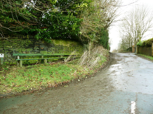
Image: © Humphrey Bolton Taken: 9 Jan 2014
This lane, which is Elland Bridleway 4 and an unadopted street, was the boundary between Greetland Urban District and Upper Greetland Civil parish. There was a boundary stone, but it has gone. There is a triple-length seat, a suitable resting place for a large family or small rambling club.
Images are licensed for reuse under creativecommons.org/licenses/by-sa/2.0
Image Location
Latitude
53.68809
Longitude
-1.878068