Main Road Glengarnock
Introduction
The photograph on this page of Main Road Glengarnock by Thomas Nugent as part of the Geograph project.
The Geograph project started in 2005 with the aim of publishing, organising and preserving representative images for every square kilometre of Great Britain, Ireland and the Isle of Man.

There are currently over 7.5m images from over 14,400 individuals and you can help contribute to the project by visiting https://www.geograph.org.uk
Main Road Glengarnock
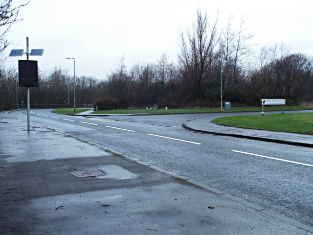
Image: © Thomas Nugent Taken: 4 Jan 2014
The B777 leading to Kilbirnie. The unnamed road on the right leads to Caledonian Road and the site of the former Glengarnock steel works which closed in the early 1980s.
Images are licensed for reuse under creativecommons.org/licenses/by-sa/2.0
Image Location
Latitude
55.741098
Longitude
-4.68023