Waterlogged Path near Maywood Farm
Introduction
The photograph on this page of Waterlogged Path near Maywood Farm by Jonathan Clitheroe as part of the Geograph project.
The Geograph project started in 2005 with the aim of publishing, organising and preserving representative images for every square kilometre of Great Britain, Ireland and the Isle of Man.

There are currently over 7.5m images from over 14,400 individuals and you can help contribute to the project by visiting https://www.geograph.org.uk
Waterlogged Path near Maywood Farm
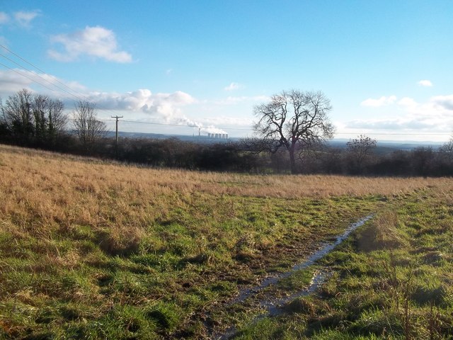
Image: © Jonathan Clitheroe Taken: 11 Jan 2014
Footpath which cuts across the north western corner of this gridsquare just here. The conurbation of Long Eaton lies between this point and the distant power station at Radcliffe on Soar - visible on the horizon on the other side of the Trent valley.
Images are licensed for reuse under creativecommons.org/licenses/by-sa/2.0
Image Location
Latitude
52.927719
Longitude
-1.316125