Yard of Ale
Introduction
The photograph on this page of Yard of Ale by David P Howard as part of the Geograph project.
The Geograph project started in 2005 with the aim of publishing, organising and preserving representative images for every square kilometre of Great Britain, Ireland and the Isle of Man.

There are currently over 7.5m images from over 14,400 individuals and you can help contribute to the project by visiting https://www.geograph.org.uk
Yard of Ale
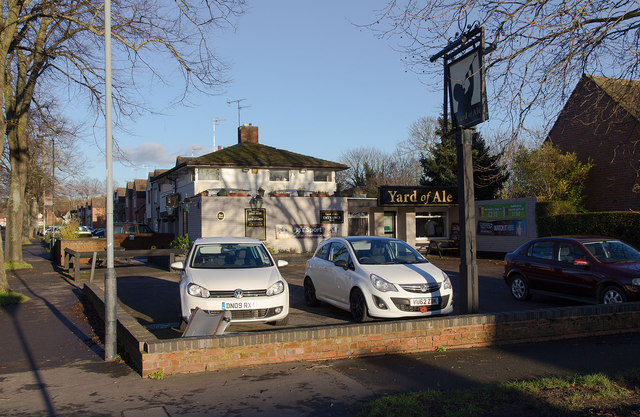
Image: © David P Howard Taken: 11 Jan 2014
A public house off the A3400 Birmingham Road, at the junction with Justins Avenue.
Images are licensed for reuse under creativecommons.org/licenses/by-sa/2.0
Image Location


Leaflet Map data © OpenStreetMap
Latitude
52.20252
Longitude
-1.717114