Field beside the A36
Introduction
The photograph on this page of Field beside the A36 by David Martin as part of the Geograph project.
The Geograph project started in 2005 with the aim of publishing, organising and preserving representative images for every square kilometre of Great Britain, Ireland and the Isle of Man.

There are currently over 7.5m images from over 14,400 individuals and you can help contribute to the project by visiting https://www.geograph.org.uk
Field beside the A36
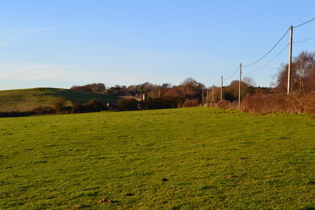
Image: © David Martin Taken: 11 Jan 2014
The A36 runs behind the hedgerow to the right. The smooth hill in the left distance is a grassed-over landfill site: the effect is quite convincing although there is no good geomorphological reason for it to be there!
Images are licensed for reuse under creativecommons.org/licenses/by-sa/2.0
Image Location


Leaflet Map data © OpenStreetMap
Latitude
51.017306
Longitude
-1.69045