Gladstone road viewed from Northway
Introduction
The photograph on this page of Gladstone road viewed from Northway by Christopher Hall as part of the Geograph project.
The Geograph project started in 2005 with the aim of publishing, organising and preserving representative images for every square kilometre of Great Britain, Ireland and the Isle of Man.

There are currently over 7.5m images from over 14,400 individuals and you can help contribute to the project by visiting https://www.geograph.org.uk
Gladstone road viewed from Northway
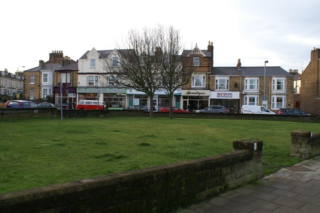
Image: © Christopher Hall Taken: 10 Jan 2014
Northway was created in 1930 cutting through the 19th century street pattern leaving this triangular green space in front of Albion Terrace (to the left, not seen) and Gladstone Road. Gladstone Road has mixed uses, both residential and commercial. The building behind the white van is 3 Gladstone Road which was damaged by the German bombardment of Scarborough on December 16th 1914; it carries a plaque to this effect.
Images are licensed for reuse under creativecommons.org/licenses/by-sa/2.0
Image Location
Latitude
54.282373
Longitude
-0.410673