Seamer Junction
Introduction
The photograph on this page of Seamer Junction by Christopher Hall as part of the Geograph project.
The Geograph project started in 2005 with the aim of publishing, organising and preserving representative images for every square kilometre of Great Britain, Ireland and the Isle of Man.

There are currently over 7.5m images from over 14,400 individuals and you can help contribute to the project by visiting https://www.geograph.org.uk
Seamer Junction
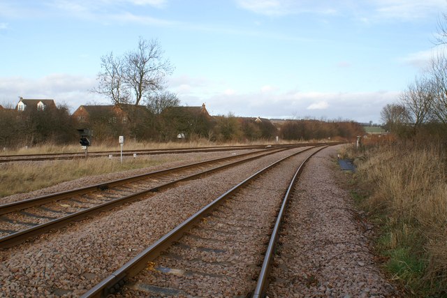
Image: © Christopher Hall Taken: 8 Jan 2014
The junction between the Scarborough to York and Scarborough to Bridlington rail lines seen from the Long Lane level crossing.
Images are licensed for reuse under creativecommons.org/licenses/by-sa/2.0
Image Location
Latitude
54.236143
Longitude
-0.422116