Terraced cottages, Norbury
Introduction
The photograph on this page of Terraced cottages, Norbury by Espresso Addict as part of the Geograph project.
The Geograph project started in 2005 with the aim of publishing, organising and preserving representative images for every square kilometre of Great Britain, Ireland and the Isle of Man.

There are currently over 7.5m images from over 14,400 individuals and you can help contribute to the project by visiting https://www.geograph.org.uk
Terraced cottages, Norbury
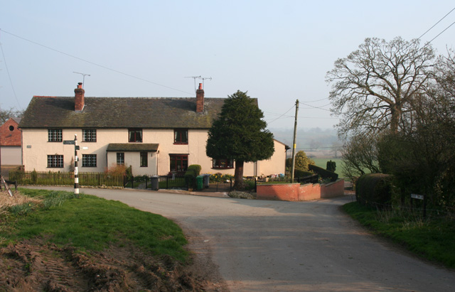
Image: © Espresso Addict Taken: 27 Mar 2007
A terrace of cottages at the junction of Norbury Town Lane, School Lane and the lane to Gauntons Bank on the eastern edge of the hamlet of Norbury. Norbury occupies a minor elevation and the descent to the valley in which the Llangollen branch of the Shropshire Union Canal runs can be seen (right) along School Lane, with the rise at Wirswall in the distance. The old-fashioned black-and-white signposts (left) are common in this area
Images are licensed for reuse under creativecommons.org/licenses/by-sa/2.0
Image Location


Leaflet Map data © OpenStreetMap
Latitude
53.020644
Longitude
-2.656042