Chimney, South Tincroft Mine
Introduction
The photograph on this page of Chimney, South Tincroft Mine by Philip Halling as part of the Geograph project.
The Geograph project started in 2005 with the aim of publishing, organising and preserving representative images for every square kilometre of Great Britain, Ireland and the Isle of Man.

There are currently over 7.5m images from over 14,400 individuals and you can help contribute to the project by visiting https://www.geograph.org.uk
Chimney, South Tincroft Mine
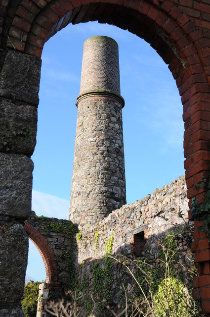
Image: © Philip Halling Taken: 2 Jan 2014
Chimney at South Tincroft Mine from through an arch within the Compression House. The building dates from 1890 and was closed in 1921.
Images are licensed for reuse under creativecommons.org/licenses/by-sa/2.0
Image Location
Latitude
50.220183
Longitude
-5.268919