Chepstow Road houses, Raglan
Introduction
The photograph on this page of Chepstow Road houses, Raglan by Jaggery as part of the Geograph project.
The Geograph project started in 2005 with the aim of publishing, organising and preserving representative images for every square kilometre of Great Britain, Ireland and the Isle of Man.

There are currently over 7.5m images from over 14,400 individuals and you can help contribute to the project by visiting https://www.geograph.org.uk
Chepstow Road houses, Raglan
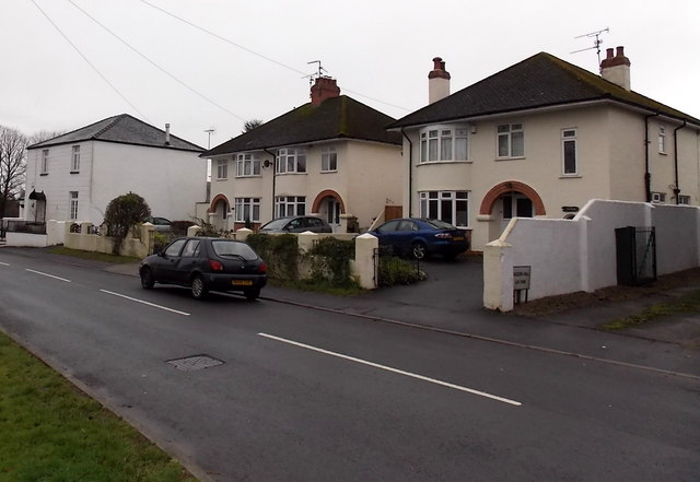
Image: © Jaggery Taken: 5 Jan 2014
The house on the left is about a century older than its neighbours. It dates from before 1841, the year in which it was shown on a tithe map. Now named Dean House, it used to be Dean Cottage and also The Manse when it was the residence of Baptist ministers from 1900-1940.
Images are licensed for reuse under creativecommons.org/licenses/by-sa/2.0
Image Location
Latitude
51.763188
Longitude
-2.850799