Old Vicarage, Raglan
Introduction
The photograph on this page of Old Vicarage, Raglan by Jaggery as part of the Geograph project.
The Geograph project started in 2005 with the aim of publishing, organising and preserving representative images for every square kilometre of Great Britain, Ireland and the Isle of Man.

There are currently over 7.5m images from over 14,400 individuals and you can help contribute to the project by visiting https://www.geograph.org.uk
Old Vicarage, Raglan
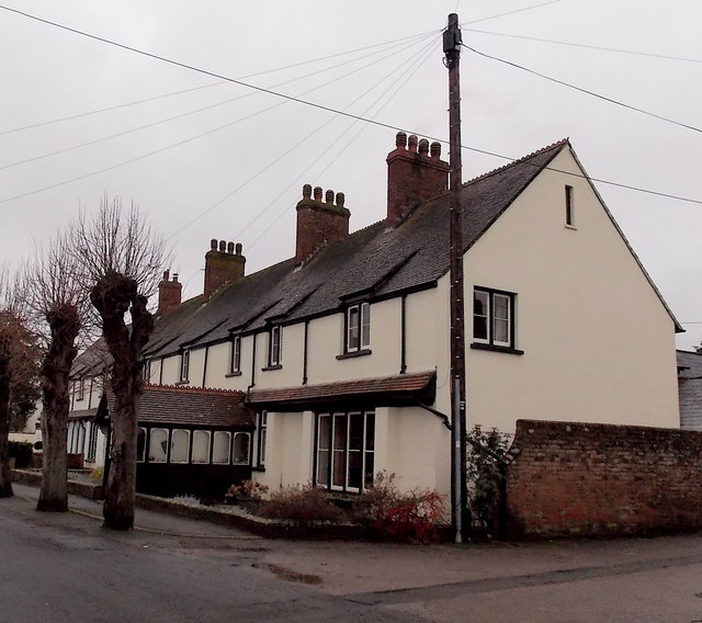
Image: © Jaggery Taken: 5 Jan 2014
Viewed across Castle Street. Now a private residence named The Malthouse, the house with the projecting entrance porch was until 1958 the residence for the vicar of St Cadoc's Church.
Images are licensed for reuse under creativecommons.org/licenses/by-sa/2.0
Image Location
Latitude
51.765248
Longitude
-2.851997