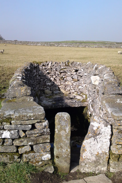
Well on Bradshaw Lane
Introduction
The photograph on this page of Well on Bradshaw Lane by Chris Morgan as part of the Geograph project.
The Geograph project started in 2005 with the aim of publishing, organising and preserving representative images for every square kilometre of Great Britain, Ireland and the Isle of Man.
There are currently over 7.5m images from over 14,400 individuals and you can help contribute to the project by visiting https://www.geograph.org.uk

Image: © Chris Morgan Taken: 28 Mar 2011
Not far from the sink hole that mysteriously opened a few fields away at Christmas 2013. This photograph was taken at the start of the very dry year of 2011, when the ground got drier and drier, deeper and deeper. Cracks will have formed well below the surface. The subsequent rain of 2012, followed by more recent rain in 2013, has sunk deeper and deeper into the ground, altering the sub-strata below in ways we're now discovering!

