Tuckton: path alongside the swollen Stour
Introduction
The photograph on this page of Tuckton: path alongside the swollen Stour by Chris Downer as part of the Geograph project.
The Geograph project started in 2005 with the aim of publishing, organising and preserving representative images for every square kilometre of Great Britain, Ireland and the Isle of Man.

There are currently over 7.5m images from over 14,400 individuals and you can help contribute to the project by visiting https://www.geograph.org.uk
Tuckton: path alongside the swollen Stour
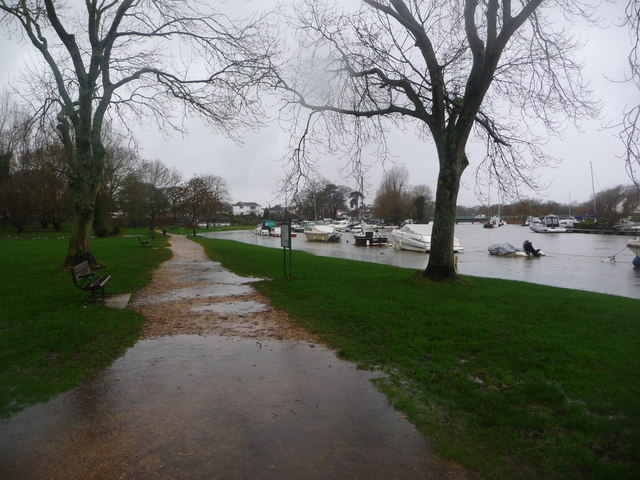
Image: © Chris Downer Taken: 4 Jan 2014
The riverside gardens at Tuckton are somewhat waterlogged, after a couple of weeks of persistent heavy rain; the Stour is also very much higher than usual and has caused flooding downstream in Christchurch and upstream at Iford. The Tuckton Bridge can be seen in the distance.
Images are licensed for reuse under creativecommons.org/licenses/by-sa/2.0
Image Location
Latitude
50.729314
Longitude
-1.786854