Southern boundary of Efail Fach
Introduction
The photograph on this page of Southern boundary of Efail Fach by Jaggery as part of the Geograph project.
The Geograph project started in 2005 with the aim of publishing, organising and preserving representative images for every square kilometre of Great Britain, Ireland and the Isle of Man.

There are currently over 7.5m images from over 14,400 individuals and you can help contribute to the project by visiting https://www.geograph.org.uk
Southern boundary of Efail Fach
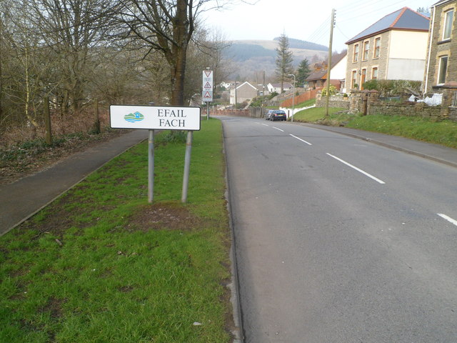
Image: © Jaggery Taken: 2 Mar 2012
The B4287 from Pontrhydyfen passes the boundary sign for Efail Fach, a small village SE of Neath.
Images are licensed for reuse under creativecommons.org/licenses/by-sa/2.0
Image Location
Latitude
51.641603
Longitude
-3.752774