Path to Mistletoe Court
Introduction
The photograph on this page of Path to Mistletoe Court by David Anstiss as part of the Geograph project.
The Geograph project started in 2005 with the aim of publishing, organising and preserving representative images for every square kilometre of Great Britain, Ireland and the Isle of Man.

There are currently over 7.5m images from over 14,400 individuals and you can help contribute to the project by visiting https://www.geograph.org.uk
Path to Mistletoe Court
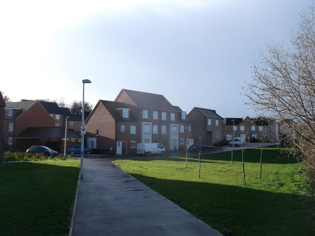
Image: © David Anstiss Taken: 25 Dec 2013
This path leads from Layfield Road. This new housing development is at the end of Christmas Street. The site was formerly a nursery with large greenhouses.
Images are licensed for reuse under creativecommons.org/licenses/by-sa/2.0
Image Location
Latitude
51.391976
Longitude
0.56352