River Pinn at Philpots Bridge
Introduction
The photograph on this page of River Pinn at Philpots Bridge by Nigel Cox as part of the Geograph project.
The Geograph project started in 2005 with the aim of publishing, organising and preserving representative images for every square kilometre of Great Britain, Ireland and the Isle of Man.

There are currently over 7.5m images from over 14,400 individuals and you can help contribute to the project by visiting https://www.geograph.org.uk
River Pinn at Philpots Bridge
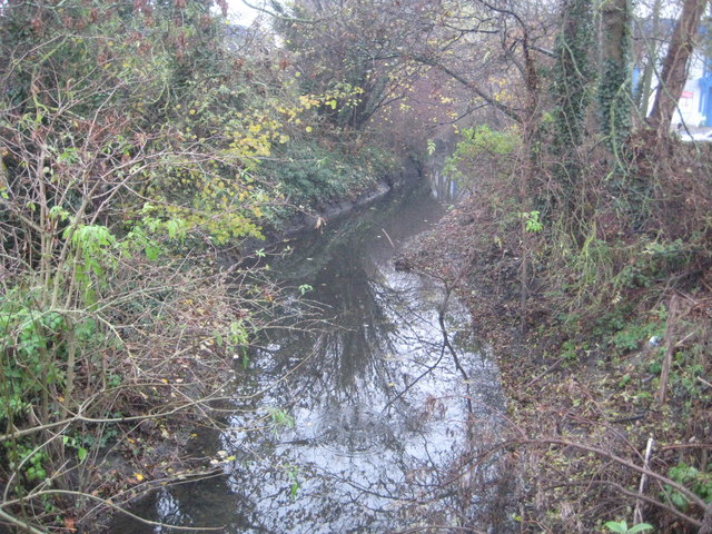
Image: © Nigel Cox Taken: 12 Dec 2013
This is the view looking downstream from Philpots Bridge which takes the A408 over the river.
Images are licensed for reuse under creativecommons.org/licenses/by-sa/2.0
Image Location
Latitude
51.517315
Longitude
-0.477468