Romney Avenue houses set back from the roadway, Bristol
Introduction
The photograph on this page of Romney Avenue houses set back from the roadway, Bristol by Jaggery as part of the Geograph project.
The Geograph project started in 2005 with the aim of publishing, organising and preserving representative images for every square kilometre of Great Britain, Ireland and the Isle of Man.

There are currently over 7.5m images from over 14,400 individuals and you can help contribute to the project by visiting https://www.geograph.org.uk
Romney Avenue houses set back from the roadway, Bristol
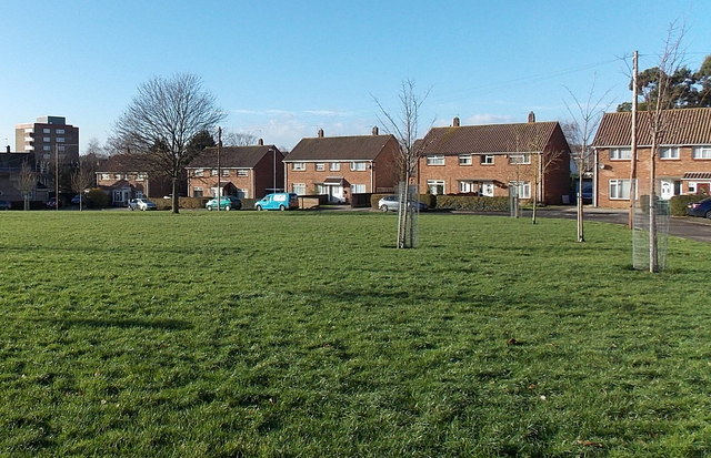
Image: © Jaggery Taken: 29 Dec 2013
Houses in this part of Romney Avenue are set back about 70 metres from the main road, behind a roughly rectangular area of grass. Danby House http://www.geograph.org.uk/photo/3799615 is in the background on the left.
Images are licensed for reuse under creativecommons.org/licenses/by-sa/2.0
Image Location
Latitude
51.48327
Longitude
-2.571236