Chimneys, Lambeg
Introduction
The photograph on this page of Chimneys, Lambeg by Albert Bridge as part of the Geograph project.
The Geograph project started in 2005 with the aim of publishing, organising and preserving representative images for every square kilometre of Great Britain, Ireland and the Isle of Man.

There are currently over 7.5m images from over 14,400 individuals and you can help contribute to the project by visiting https://www.geograph.org.uk
Chimneys, Lambeg
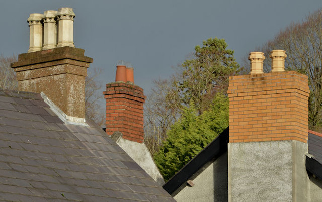
Image: © Albert Bridge Taken: 2 Jan 2014
A selection of chimneys and pots, on the Lambeg Road, opposite the Tullynacross Road. It looks as if all three buildings were built as houses but some were later converted for commercial use.
Images are licensed for reuse under creativecommons.org/licenses/by-sa/2.0
Image Location
Latitude
54.529021
Longitude
-6.025915