Sharon Full Gospel Church, Pontypool
Introduction
The photograph on this page of Sharon Full Gospel Church, Pontypool by Jaggery as part of the Geograph project.
The Geograph project started in 2005 with the aim of publishing, organising and preserving representative images for every square kilometre of Great Britain, Ireland and the Isle of Man.

There are currently over 7.5m images from over 14,400 individuals and you can help contribute to the project by visiting https://www.geograph.org.uk
Sharon Full Gospel Church, Pontypool
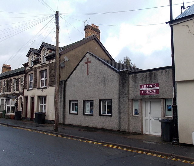
Image: © Jaggery Taken: 2 Jan 2014
Sharon Full Gospel Church began with a Gospel mission in a tent in Pontypool Park in 1936. Later, the church used Emmanuel Hall (now the Pontypool Salvation Army citadel) http://www.geograph.org.uk/photo/1853971 The church has been here in Osborne Road since 1952.
Images are licensed for reuse under creativecommons.org/licenses/by-sa/2.0
Image Location
Latitude
51.705972
Longitude
-3.044228