Black Weir Docks Feeder
Introduction
The photograph on this page of Black Weir Docks Feeder by Guy Butler-Madden as part of the Geograph project.
The Geograph project started in 2005 with the aim of publishing, organising and preserving representative images for every square kilometre of Great Britain, Ireland and the Isle of Man.

There are currently over 7.5m images from over 14,400 individuals and you can help contribute to the project by visiting https://www.geograph.org.uk
Black Weir Docks Feeder
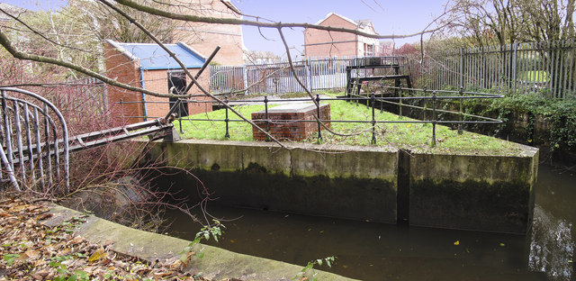
Image: © Guy Butler-Madden Taken: 16 Dec 2011
The sluices control supply of water to the disused, but still in water, Bute East Dock and the remaining docks to the south.
Images are licensed for reuse under creativecommons.org/licenses/by-sa/2.0
Image Location
Latitude
51.474777
Longitude
-3.169968