Path from Mackenzie Place
Introduction
The photograph on this page of Path from Mackenzie Place by Richard Dorrell as part of the Geograph project.
The Geograph project started in 2005 with the aim of publishing, organising and preserving representative images for every square kilometre of Great Britain, Ireland and the Isle of Man.

There are currently over 7.5m images from over 14,400 individuals and you can help contribute to the project by visiting https://www.geograph.org.uk
Path from Mackenzie Place
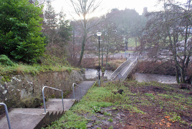
Image: © Richard Dorrell Taken: 29 Dec 2013
This stepped path connects Mackenzie Place to Old Mill Road. The footbridge crosses Avoch Burn. The Avoch Primary School is at the end of Old Mill Road. (See Image]).
Images are licensed for reuse under creativecommons.org/licenses/by-sa/2.0
Image Location
Latitude
57.568175
Longitude
-4.176539