Boundary Pillar 1877 - take 2
Introduction
The photograph on this page of Boundary Pillar 1877 - take 2 by Alan Murray-Rust as part of the Geograph project.
The Geograph project started in 2005 with the aim of publishing, organising and preserving representative images for every square kilometre of Great Britain, Ireland and the Isle of Man.

There are currently over 7.5m images from over 14,400 individuals and you can help contribute to the project by visiting https://www.geograph.org.uk
Boundary Pillar 1877 - take 2
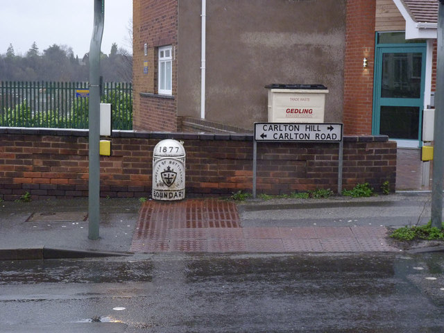
Image: © Alan Murray-Rust Taken: 1 Jan 2014
Take 1 dates from 2008 http://www.geograph.org.uk/photo/779963 A couple of years ago the pillar was set upright and repainted, but I have only just got round to retaking it. The paintwork is already losing its pristine whiteness.
Images are licensed for reuse under creativecommons.org/licenses/by-sa/2.0
Image Location
Latitude
52.964869
Longitude
-1.115286