Mixed woodland boundary
Introduction
The photograph on this page of Mixed woodland boundary by Donnylad as part of the Geograph project.
The Geograph project started in 2005 with the aim of publishing, organising and preserving representative images for every square kilometre of Great Britain, Ireland and the Isle of Man.

There are currently over 7.5m images from over 14,400 individuals and you can help contribute to the project by visiting https://www.geograph.org.uk
Mixed woodland boundary
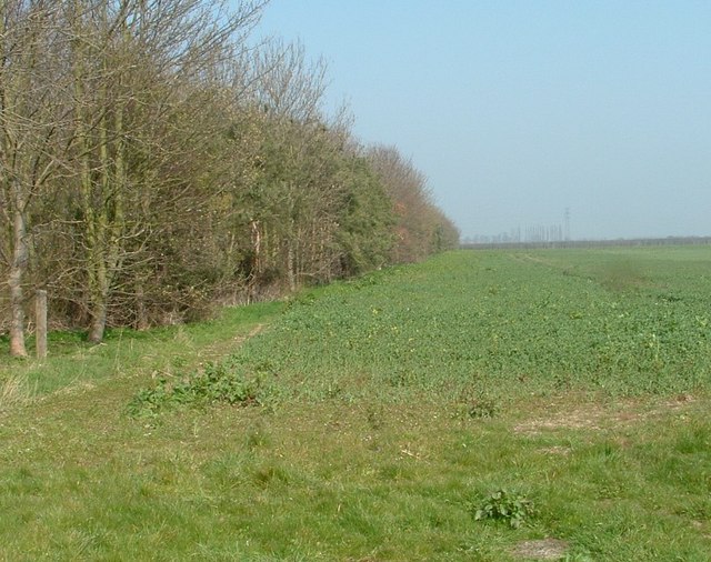
Image: © Donnylad Taken: 27 Mar 2007
Infant oil seed rape takes shelter from the north wind in the lee of this woodland ribbon of mixed trees
Images are licensed for reuse under creativecommons.org/licenses/by-sa/2.0
Image Location


Leaflet Map data © OpenStreetMap
Latitude
52.929437
Longitude
-0.302969