Gantry along the Midland Main Line
Introduction
The photograph on this page of Gantry along the Midland Main Line by Mat Fascione as part of the Geograph project.
The Geograph project started in 2005 with the aim of publishing, organising and preserving representative images for every square kilometre of Great Britain, Ireland and the Isle of Man.

There are currently over 7.5m images from over 14,400 individuals and you can help contribute to the project by visiting https://www.geograph.org.uk
Gantry along the Midland Main Line
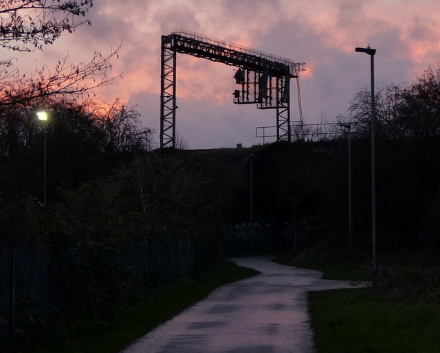
Image: © Mat Fascione Taken: 21 Dec 2013
The path runs from Grampian Close, under the Midland Mainline via a tunnel, and across Wash Brook Nature Park, past the Sir Jonathan North Community College, and onto Knighton Lane East.
Images are licensed for reuse under creativecommons.org/licenses/by-sa/2.0
Image Location
Latitude
52.605383
Longitude
-1.129486