Mountain stream
Introduction
The photograph on this page of Mountain stream by Robert Ashby as part of the Geograph project.
The Geograph project started in 2005 with the aim of publishing, organising and preserving representative images for every square kilometre of Great Britain, Ireland and the Isle of Man.

There are currently over 7.5m images from over 14,400 individuals and you can help contribute to the project by visiting https://www.geograph.org.uk
Mountain stream
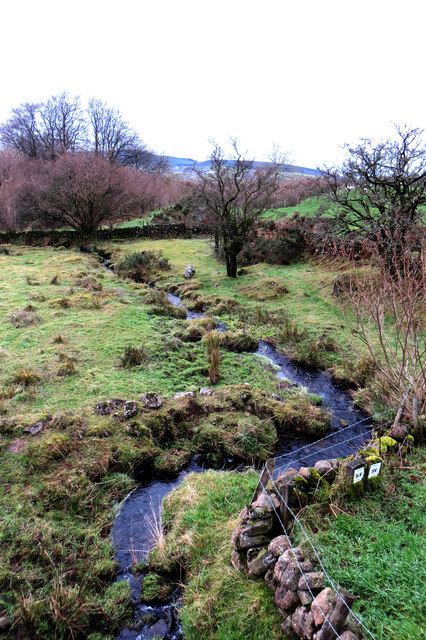
Image: © Robert Ashby Taken: 29 Dec 2013
Connor Burn, as it is called on the Google map, where it passes beneath the Ballybracken Road at Loonburn Bridge. The stream is named Loon Burn on my O. S. map.
Images are licensed for reuse under creativecommons.org/licenses/by-sa/2.0
Image Location
Latitude
54.790419
Longitude
-6.106792