Chilbolton: Station Road
Introduction
The photograph on this page of Chilbolton: Station Road by Nigel Cox as part of the Geograph project.
The Geograph project started in 2005 with the aim of publishing, organising and preserving representative images for every square kilometre of Great Britain, Ireland and the Isle of Man.

There are currently over 7.5m images from over 14,400 individuals and you can help contribute to the project by visiting https://www.geograph.org.uk
Chilbolton: Station Road
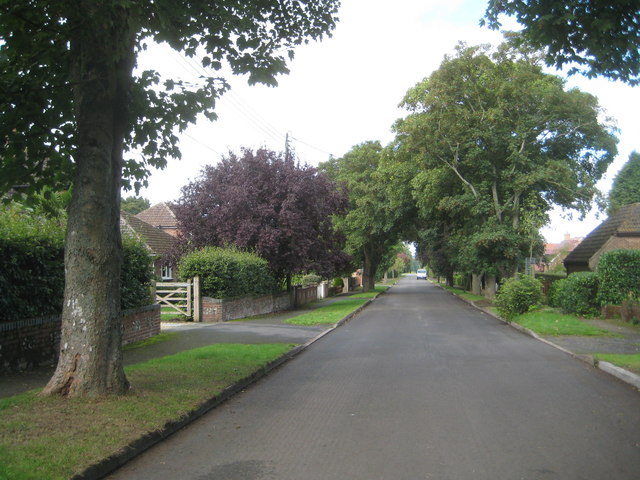
Image: © Nigel Cox Taken: 20 Sep 2013
The name of this road has left the photographer perplexed! Looking at old maps there has evidently never been a railway here yet alone a station, the nearest being Fullerton Junction which was some distance and a couple of intermediate roads away. One walking website suggests it was so named as it headed off in the general direction of that station from the Second World War airfield on the downs above the village, providing guidance to wartime personnel, but that theory must be wrong as the road is clearly shown and named on the Ordnance Survey map of 1910, prior to the First World War, let alone the Second. It cannot be anything to do with Chilbolton Observatory either as its construction did not start until 1963. So was it a road to a station on a railway that was never eventually built? Or does the word Station have a non-railway meaning here?
Images are licensed for reuse under creativecommons.org/licenses/by-sa/2.0
Image Location
Latitude
51.150996
Longitude
-1.441641