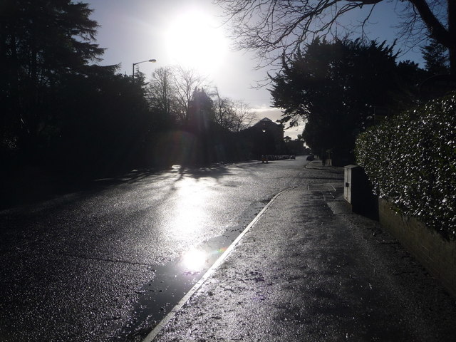
Bournemouth: first stretch of Wimborne Road
Introduction
The photograph on this page of Bournemouth: first stretch of Wimborne Road by Chris Downer as part of the Geograph project.
The Geograph project started in 2005 with the aim of publishing, organising and preserving representative images for every square kilometre of Great Britain, Ireland and the Isle of Man.
There are currently over 7.5m images from over 14,400 individuals and you can help contribute to the project by visiting https://www.geograph.org.uk

Image: © Chris Downer Taken: 30 Dec 2013
Wimborne Road is easily Bournemouth's longest road, running for over four miles in the direction of Wimborne Minster, culminating in the town's highest house numbers - 1716 even and 1823 odd - at Bear Cross in Image (see Image). (However, a couple of hundred numbers are missed out on both sides at the southern end of Winton.) Here, we look along the stretch from its start at the top of Richmond Hill in the town centre. The bright sun is reflecting off surface water in the gutter after a night and morning of heavy rain. Braidley Road is off to the right.

