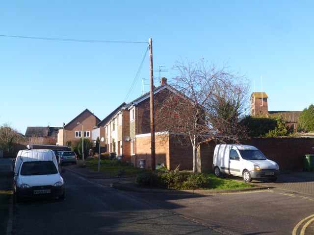
Millbrook Close, Wallingford
Introduction
The photograph on this page of Millbrook Close, Wallingford by Des Blenkinsopp as part of the Geograph project.
The Geograph project started in 2005 with the aim of publishing, organising and preserving representative images for every square kilometre of Great Britain, Ireland and the Isle of Man.
There are currently over 7.5m images from over 14,400 individuals and you can help contribute to the project by visiting https://www.geograph.org.uk

Image: © Des Blenkinsopp Taken: 29 Dec 2013
A short residential no through road tucked in behind the fire station, which is the tower on the right. The Mill Brook is a stream which mainly joins the Thames south of the town, but some of the water was diverted to flow along past here and into the Saxon moat around the ancient town centre. Now reduced to a trickle it has been culverted for most of its length and this street name is the only visible clue to its existence unless you count a few manhole covers.
Image Location


