The Link, East Dean
Introduction
The photograph on this page of The Link, East Dean by Simon Carey as part of the Geograph project.
The Geograph project started in 2005 with the aim of publishing, organising and preserving representative images for every square kilometre of Great Britain, Ireland and the Isle of Man.

There are currently over 7.5m images from over 14,400 individuals and you can help contribute to the project by visiting https://www.geograph.org.uk
The Link, East Dean
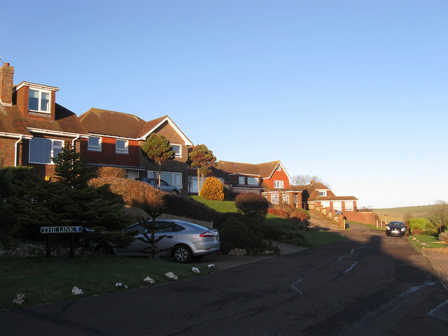
Image: © Simon Carey Taken: 26 Dec 2013
A residential road off Michel Dene Road that ends in a dead end after the junction with Summerdown Lane. This part of East Dean, built on the southern slopes of Summer Down, was not completed until the 1970s.
Images are licensed for reuse under creativecommons.org/licenses/by-sa/2.0
Image Location
Latitude
50.766477
Longitude
0.215174