Stourbridge Road (A491), Hagley, Worcs
Introduction
The photograph on this page of Stourbridge Road (A491), Hagley, Worcs by P L Chadwick as part of the Geograph project.
The Geograph project started in 2005 with the aim of publishing, organising and preserving representative images for every square kilometre of Great Britain, Ireland and the Isle of Man.

There are currently over 7.5m images from over 14,400 individuals and you can help contribute to the project by visiting https://www.geograph.org.uk
Stourbridge Road (A491), Hagley, Worcs
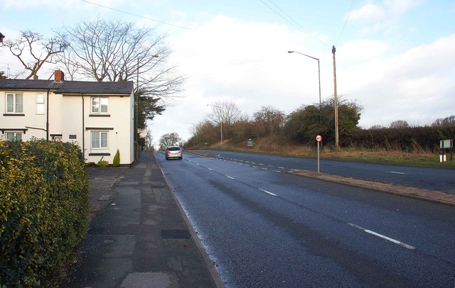
Image: © P L Chadwick Taken: 27 Dec 2013
Shortly after passing the houses on the left, the A491 leaves the village of Hagley and the County of Worcestershire and enters Pedmore. This is an area of the town of Stourbridge, which is in Dudley Metropolitan Borough Council, in the West Midlands.
Images are licensed for reuse under creativecommons.org/licenses/by-sa/2.0
Image Location
Latitude
52.43051
Longitude
-2.128795