Drainage ditch by Langford Lane
Introduction
The photograph on this page of Drainage ditch by Langford Lane by David Hawgood as part of the Geograph project.
The Geograph project started in 2005 with the aim of publishing, organising and preserving representative images for every square kilometre of Great Britain, Ireland and the Isle of Man.

There are currently over 7.5m images from over 14,400 individuals and you can help contribute to the project by visiting https://www.geograph.org.uk
Drainage ditch by Langford Lane
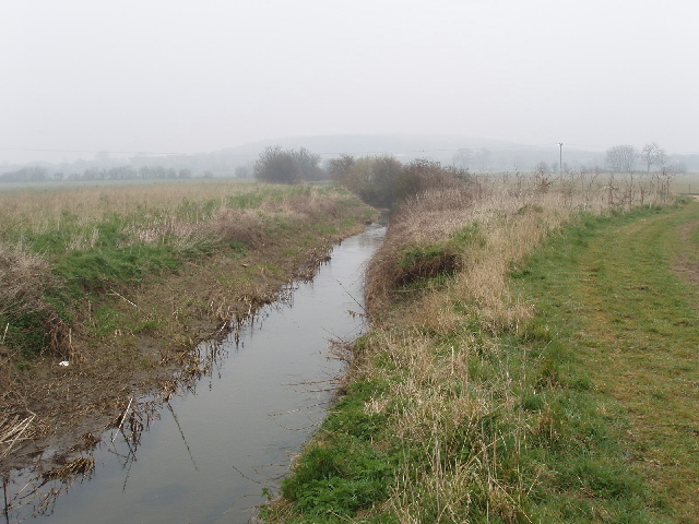
Image: © David Hawgood Taken: 27 Mar 2007
This is just north of Merton Grounds farm. This is a flat area just a couple of metres above the nearby River Ray, and the streams are kept dredged for drainage. There is some pumped drainage of the farmed area.
Images are licensed for reuse under creativecommons.org/licenses/by-sa/2.0
Image Location


Leaflet Map data © OpenStreetMap
Latitude
51.871784
Longitude
-1.158679