General view of Hathersage
Introduction
The photograph on this page of General view of Hathersage by Neil Theasby as part of the Geograph project.
The Geograph project started in 2005 with the aim of publishing, organising and preserving representative images for every square kilometre of Great Britain, Ireland and the Isle of Man.

There are currently over 7.5m images from over 14,400 individuals and you can help contribute to the project by visiting https://www.geograph.org.uk
General view of Hathersage
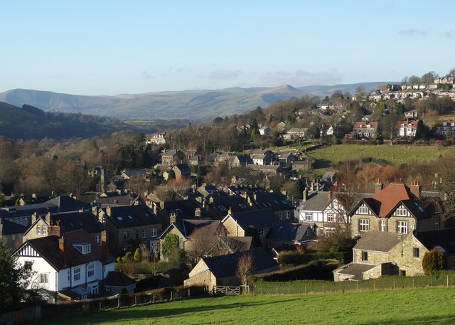
Image: © Neil Theasby Taken: 29 Dec 2013
Looking along the Hope Valley to Win Hill
Images are licensed for reuse under creativecommons.org/licenses/by-sa/2.0
Image Location
Latitude
53.328919
Longitude
-1.652068