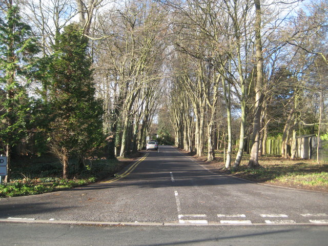
Gerrards Cross: Camp Road
Introduction
The photograph on this page of Gerrards Cross: Camp Road by Nigel Cox as part of the Geograph project.
The Geograph project started in 2005 with the aim of publishing, organising and preserving representative images for every square kilometre of Great Britain, Ireland and the Isle of Man.
There are currently over 7.5m images from over 14,400 individuals and you can help contribute to the project by visiting https://www.geograph.org.uk

Image: © Nigel Cox Taken: 22 Dec 2013
The progress of the residential development of the area to the south-west of the A40 in Gerrards Cross is well illustrated in large scale Ordnance Survey maps. When the 1925 edition was published there were no houses here at all. By 1938 much of the present-day development along the A40 and along Windsor Road was complete, and the construction of the private estate around The Camp had begun with some fifteen or so houses built. This construction work continued after the Second World War, and this is the present-day entrance to the estate, from the B416 Windsor Road, along the private Camp Road.

