Gerrards Cross: Flooded pit near Bulstrode Park (2)
Introduction
The photograph on this page of Gerrards Cross: Flooded pit near Bulstrode Park (2) by Nigel Cox as part of the Geograph project.
The Geograph project started in 2005 with the aim of publishing, organising and preserving representative images for every square kilometre of Great Britain, Ireland and the Isle of Man.

There are currently over 7.5m images from over 14,400 individuals and you can help contribute to the project by visiting https://www.geograph.org.uk
Gerrards Cross: Flooded pit near Bulstrode Park (2)
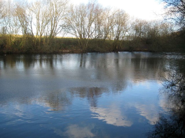
Image: © Nigel Cox Taken: 22 Dec 2013
This pond is between Bulstrode Park and the sand and gravel pit workings around Moat Farm, and appears to have been created by allowing one of the worked out pits between the two to flood. The photographer disturbed a red kite perched low down in the trees around the pond during this visit.
Images are licensed for reuse under creativecommons.org/licenses/by-sa/2.0
Image Location
Latitude
51.586461
Longitude
-0.585005