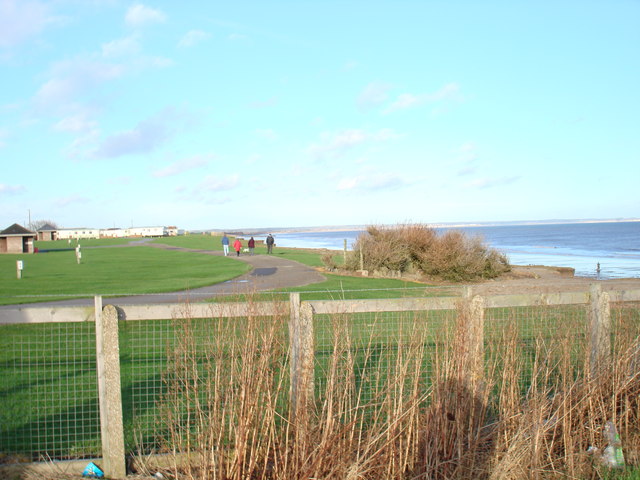
End of sands lane-Ulrome
Introduction
The photograph on this page of End of sands lane-Ulrome by tracey Anne Taylor as part of the Geograph project.
The Geograph project started in 2005 with the aim of publishing, organising and preserving representative images for every square kilometre of Great Britain, Ireland and the Isle of Man.
There are currently over 7.5m images from over 14,400 individuals and you can help contribute to the project by visiting https://www.geograph.org.uk

Image: © tracey Anne Taylor Taken: 22 Dec 2013
The sole purpose of taking this picture was so that I can gauge the cliff erosion from a different perspective, to the extreme right of this photo is what appears to be some sort of bunker. The photo doesn't have a whole lot of value at the moment but over the years the erosion rate will be all too clear when this bunker and the path and the wooden shelter have gone too, it's merely a waiting game...

