The Dry Arch near Armoy (1980)
Introduction
The photograph on this page of The Dry Arch near Armoy (1980) by Albert Bridge as part of the Geograph project.
The Geograph project started in 2005 with the aim of publishing, organising and preserving representative images for every square kilometre of Great Britain, Ireland and the Isle of Man.

There are currently over 7.5m images from over 14,400 individuals and you can help contribute to the project by visiting https://www.geograph.org.uk
The Dry Arch near Armoy (1980)
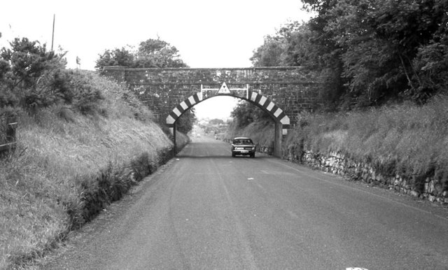
Image: © Albert Bridge Taken: 29 Jun 1980
See Image (January 2007). An earlier view, looking towards Moss-Side and Coleraine. The arch has a height restriction of 12ft 6.
Images are licensed for reuse under creativecommons.org/licenses/by-sa/2.0
Image Location
Latitude
55.16123
Longitude
-6.376725