B4333 heading for Newcastle Emlyn
Introduction
The photograph on this page of B4333 heading for Newcastle Emlyn by Martyn Harries as part of the Geograph project.
The Geograph project started in 2005 with the aim of publishing, organising and preserving representative images for every square kilometre of Great Britain, Ireland and the Isle of Man.

There are currently over 7.5m images from over 14,400 individuals and you can help contribute to the project by visiting https://www.geograph.org.uk
B4333 heading for Newcastle Emlyn
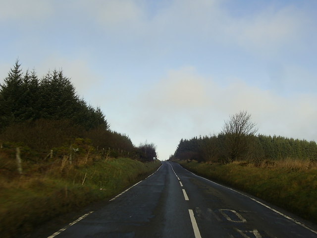
Image: © Martyn Harries Taken: 17 Dec 2013
The P sign in the distance indicates a car park and picnic spot ahead by the B4333.
Images are licensed for reuse under creativecommons.org/licenses/by-sa/2.0
Image Location


Leaflet Map data © OpenStreetMap
Latitude
51.986863
Longitude
-4.432393