Shawley Crescent
Introduction
The photograph on this page of Shawley Crescent by Hugh Craddock as part of the Geograph project.
The Geograph project started in 2005 with the aim of publishing, organising and preserving representative images for every square kilometre of Great Britain, Ireland and the Isle of Man.

There are currently over 7.5m images from over 14,400 individuals and you can help contribute to the project by visiting https://www.geograph.org.uk
Shawley Crescent
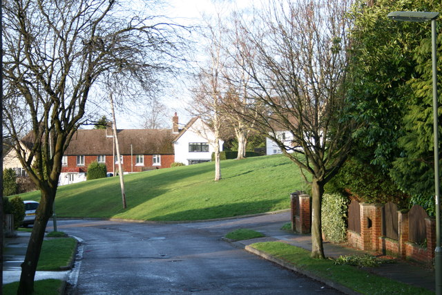
Image: © Hugh Craddock Taken: 27 Dec 2013
Open space in Shawley Crescent seen from its junction with Great Tattenhams: the modern green is a remnant of the field behind Great Burgh, a manorial settlement on the Reigate Road where Home Farm Close now stands.
Images are licensed for reuse under creativecommons.org/licenses/by-sa/2.0
Image Location
Latitude
51.312366
Longitude
-0.227134