
Across the fields to the remains of Murrow West station
Introduction
The photograph on this page of Across the fields to the remains of Murrow West station by Ben Brooksbank as part of the Geograph project.
The Geograph project started in 2005 with the aim of publishing, organising and preserving representative images for every square kilometre of Great Britain, Ireland and the Isle of Man.

There are currently over 7.5m images from over 14,400 individuals and you can help contribute to the project by visiting https://www.geograph.org.uk
Across the fields to the remains of Murrow West station
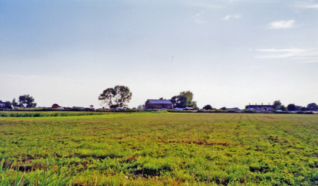
Image: © Ben Brooksbank Taken: 15 Jul 2003
View SW, across the course of the former M&GN Joint Railway: ex-GN&GE Joint main line March (to left) - (to right) Spalding - Sleaford - Lincoln - Doncaster. The station was closed 6/7/53 and following the closure of the principal Whitemoor Marshalling Yard at March, the March - Spalding section of line was closed 28/11/82. Until closed 2/3/59, there had been an unusual level-crossing of this line with the Peterborough North - Sutton Bridge section of the M&GN Railway, to the left here, at Murrow East station. (Both stations were called plain 'Murrow' until 27/9/48, i.e. after Nationalisation).
Images are licensed for reuse under creativecommons.org/licenses/by-sa/2.0
Image Location

Latitude
52.637539
Longitude
0.021933