Cut Throat Brook, near Claverley, Shropshire
Introduction
The photograph on this page of Cut Throat Brook, near Claverley, Shropshire by Roger Kidd as part of the Geograph project.
The Geograph project started in 2005 with the aim of publishing, organising and preserving representative images for every square kilometre of Great Britain, Ireland and the Isle of Man.

There are currently over 7.5m images from over 14,400 individuals and you can help contribute to the project by visiting https://www.geograph.org.uk
Cut Throat Brook, near Claverley, Shropshire
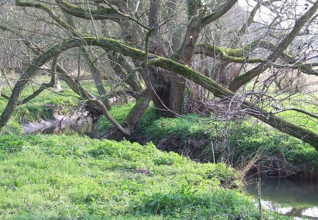
Image: © Roger Kidd Taken: 26 Mar 2007
Here the brook meanders slowly towards Claverley. The 100m wide flood plain here tends to be boggy except during a drought, yet still supports mature trees.
Images are licensed for reuse under creativecommons.org/licenses/by-sa/2.0
Image Location


Leaflet Map data © OpenStreetMap
Latitude
52.529379
Longitude
-2.291968