Sutton Ford Bridge
Introduction
The photograph on this page of Sutton Ford Bridge by John Myers as part of the Geograph project.
The Geograph project started in 2005 with the aim of publishing, organising and preserving representative images for every square kilometre of Great Britain, Ireland and the Isle of Man.

There are currently over 7.5m images from over 14,400 individuals and you can help contribute to the project by visiting https://www.geograph.org.uk
Sutton Ford Bridge
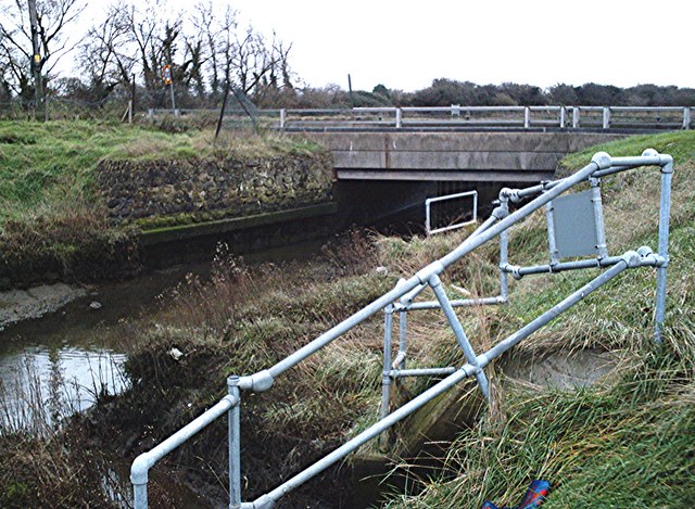
Image: © John Myers Taken: 30 Jan 2007
The Prittle Brook, here tidal and forming the southern arm of the Roach Estuary. It has flowed through prettier places than this bleak industrial estate.
Images are licensed for reuse under creativecommons.org/licenses/by-sa/2.0
Image Location


Leaflet Map data © OpenStreetMap
Latitude
51.574156
Longitude
0.716648