Railway Line at Cadder
Introduction
The photograph on this page of Railway Line at Cadder by G Laird as part of the Geograph project.
The Geograph project started in 2005 with the aim of publishing, organising and preserving representative images for every square kilometre of Great Britain, Ireland and the Isle of Man.

There are currently over 7.5m images from over 14,400 individuals and you can help contribute to the project by visiting https://www.geograph.org.uk
Railway Line at Cadder
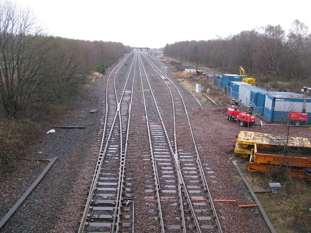
Image: © G Laird Taken: 25 Dec 2013
Part of the Croy line between Bishopbriggs and Lenzie railway stations viewed from railway bridge number EGM1/109.
Images are licensed for reuse under creativecommons.org/licenses/by-sa/2.0
Image Location
Latitude
55.91333
Longitude
-4.193932