Brynglas Road
Introduction
The photograph on this page of Brynglas Road by Ian Capper as part of the Geograph project.
The Geograph project started in 2005 with the aim of publishing, organising and preserving representative images for every square kilometre of Great Britain, Ireland and the Isle of Man.

There are currently over 7.5m images from over 14,400 individuals and you can help contribute to the project by visiting https://www.geograph.org.uk
Brynglas Road
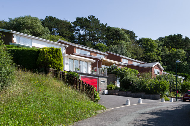
Image: © Ian Capper Taken: 25 Aug 2013
Road on the slopes above Llanbadarn Road. This top section was the last to be developed.
Images are licensed for reuse under creativecommons.org/licenses/by-sa/2.0
Image Location
Latitude
52.412489
Longitude
-4.065425