Hopwood Lane
Introduction
The photograph on this page of Hopwood Lane by Chris as part of the Geograph project.
The Geograph project started in 2005 with the aim of publishing, organising and preserving representative images for every square kilometre of Great Britain, Ireland and the Isle of Man.

There are currently over 7.5m images from over 14,400 individuals and you can help contribute to the project by visiting https://www.geograph.org.uk
Hopwood Lane
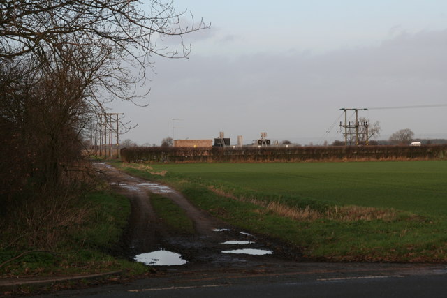
Image: © Chris Taken: 21 Dec 2013
Byway leading from Main Road, Newport to Glebe Farm, which is on the other side of the M62.
Images are licensed for reuse under creativecommons.org/licenses/by-sa/2.0
Image Location
Latitude
53.763846
Longitude
-0.696266