Churchbank House beside Church Bank
Introduction
The photograph on this page of Churchbank House beside Church Bank by Roger Templeman as part of the Geograph project.
The Geograph project started in 2005 with the aim of publishing, organising and preserving representative images for every square kilometre of Great Britain, Ireland and the Isle of Man.

There are currently over 7.5m images from over 14,400 individuals and you can help contribute to the project by visiting https://www.geograph.org.uk
Churchbank House beside Church Bank
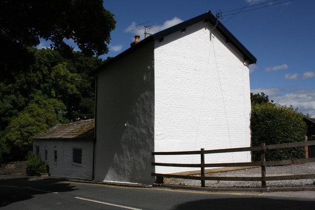
Image: © Roger Templeman Taken: 13 Aug 2013
There is an OS flush bracket benchmark Image at the middle of the bright white face of the house visible between the top two bars of the wooden fence
Images are licensed for reuse under creativecommons.org/licenses/by-sa/2.0
Image Location


Leaflet Map data © OpenStreetMap
Latitude
54.291403
Longitude
-1.984142