Benchmark on #79 Nicholas Road
Introduction
The photograph on this page of Benchmark on #79 Nicholas Road by Roger Templeman as part of the Geograph project.
The Geograph project started in 2005 with the aim of publishing, organising and preserving representative images for every square kilometre of Great Britain, Ireland and the Isle of Man.

There are currently over 7.5m images from over 14,400 individuals and you can help contribute to the project by visiting https://www.geograph.org.uk
Benchmark on #79 Nicholas Road
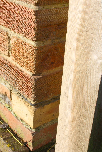
Image: © Roger Templeman Taken: 20 Dec 2013
Ordnance Survey cut mark benchmark, on 4th and 5th bricks above ground and left of a wooden gatepost, described on the Bench Mark Database at http://www.bench-marks.org.uk/bm23444
Images are licensed for reuse under creativecommons.org/licenses/by-sa/2.0
Image Location
Latitude
51.606528
Longitude
-1.132254