Retallick Meadows
Introduction
The photograph on this page of Retallick Meadows by Tony Atkin as part of the Geograph project.
The Geograph project started in 2005 with the aim of publishing, organising and preserving representative images for every square kilometre of Great Britain, Ireland and the Isle of Man.

There are currently over 7.5m images from over 14,400 individuals and you can help contribute to the project by visiting https://www.geograph.org.uk
Retallick Meadows
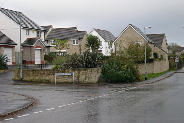
Image: © Tony Atkin Taken: 12 Nov 2005
Modern housing on the eastern edge of St Austell just off Trenowah Road.
Images are licensed for reuse under creativecommons.org/licenses/by-sa/2.0
Image Location
Latitude
50.345331
Longitude
-4.758648