Turning to Chillaton House from road to Chillaton
Introduction
The photograph on this page of Turning to Chillaton House from road to Chillaton by David Smith as part of the Geograph project.
The Geograph project started in 2005 with the aim of publishing, organising and preserving representative images for every square kilometre of Great Britain, Ireland and the Isle of Man.

There are currently over 7.5m images from over 14,400 individuals and you can help contribute to the project by visiting https://www.geograph.org.uk
Turning to Chillaton House from road to Chillaton
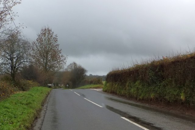
Image: © David Smith Taken: 16 Dec 2013
There is a story to be told here, reflecting the hedges, verges and the small hedgebank on the right; what were the boundaries of the original road here?
Images are licensed for reuse under creativecommons.org/licenses/by-sa/2.0
Image Location


Leaflet Map data © OpenStreetMap
Latitude
50.619837
Longitude
-4.221319