Poachers Pocket, Walderslade
Introduction
The photograph on this page of Poachers Pocket, Walderslade by Chris Whippet as part of the Geograph project.
The Geograph project started in 2005 with the aim of publishing, organising and preserving representative images for every square kilometre of Great Britain, Ireland and the Isle of Man.

There are currently over 7.5m images from over 14,400 individuals and you can help contribute to the project by visiting https://www.geograph.org.uk
Poachers Pocket, Walderslade
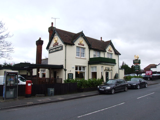
Image: © Chris Whippet Taken: 18 Dec 2013
Formerly known as the Hook and Hatchet, there has been a public house on this site since the 17th century.
Images are licensed for reuse under creativecommons.org/licenses/by-sa/2.0
Image Location
Latitude
51.351475
Longitude
0.523484