Studying the timetable at Kingswear
Introduction
The photograph on this page of Studying the timetable at Kingswear by David Smith as part of the Geograph project.
The Geograph project started in 2005 with the aim of publishing, organising and preserving representative images for every square kilometre of Great Britain, Ireland and the Isle of Man.

There are currently over 7.5m images from over 14,400 individuals and you can help contribute to the project by visiting https://www.geograph.org.uk
Studying the timetable at Kingswear
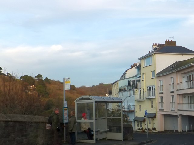
Image: © David Smith Taken: 11 Dec 2013
A bus stop and shelter on Brixham Road; the houses on the right look over the River Dart
Images are licensed for reuse under creativecommons.org/licenses/by-sa/2.0
Image Location
Latitude
50.350569
Longitude
-3.568995